
Best Hike in Bukhansan National Park: Baegundae by Bus 704
 AI-generated image
Baegundae by bus 704 is the classic climb, and it's stairs and safety cables at the end, not a cable car
 AI-generated image
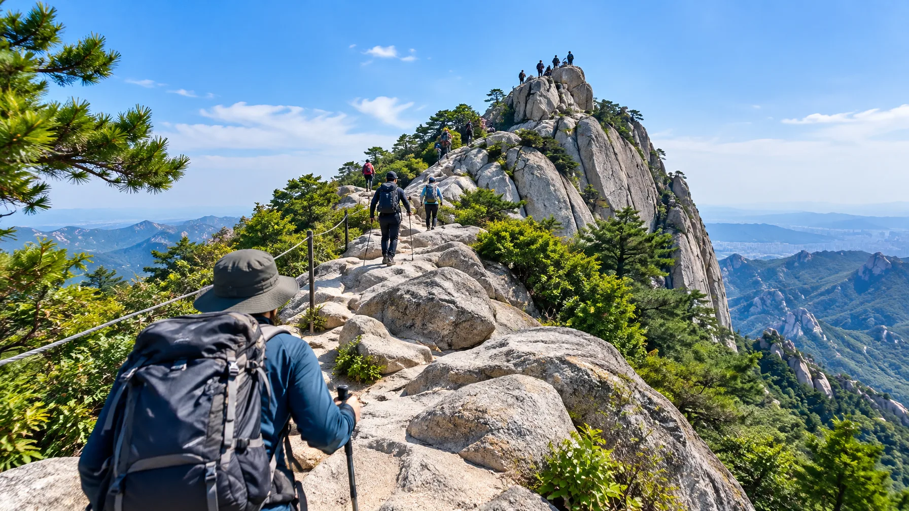
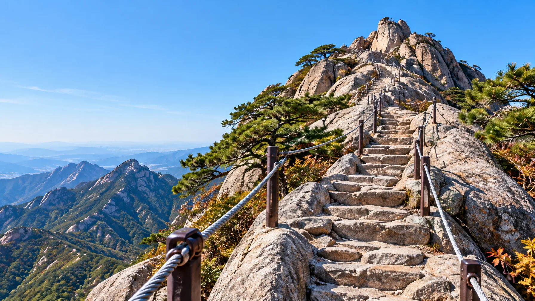
Bukhansan's best-known hike is the Baegundae route to the 835.6 m summit. Take bus 704 to the Bukhansanseong Entrance stop. Then expect a steep climb that finishes on stairs and hand-held safety cables, not a cable car ride. Say you're building a Bukhansan National Park guide in your head, with easy trails, getting there, and a cable car all on the list. This is the one that needs a reality check. It's a great day trip from Seoul, but it's a real climb.
Why Bukhansan is worth a day from Seoul
 AI-generated image
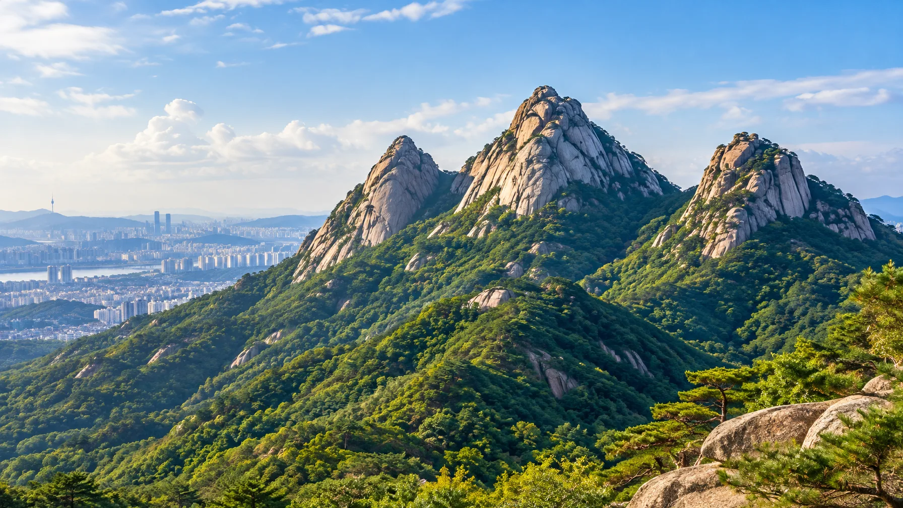
Bukhansan is the one national park in the Seoul metropolitan area. Its other name, Samgaksan, means "three-horned mountain" and refers to its three peaks. It became a national park in 1983, and the 80.699 km² park covers both Bukhansan and Dobongsan. The peaks at the top are Baegundae at 835.6 m, Insubong at 810.5 m and Mangyeongdae at 799.5 m.
The park has trails for every level, from gentle slopes to steep, rough ground, and public transit gets you there easily. That's much of why Bukhansan counts as one of the most beautiful mountains in Seoul. The park is open 9:00 to 18:00, with last entry at 16:00 in summer and 15:00 in winter.
Getting to the Baegundae trailhead from Seoul Station
 AI-generated image
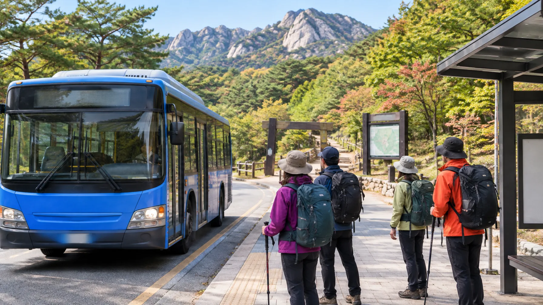
- Board bus 704.
- Get off at the Bukhansanseong Entrance stop.
- Start up the trail toward Baegundae.
Some hikers without a car do just this. They take the bus to the Bukhansanseong entrance and set off for Baegundae from there. If you drive, parking is at Bukhansanseong Parking Lots 1 and 2 and at the Jeongneung lot. The park address is 262 Bogukmun-ro, Seongbuk-gu, Seoul. From Gwanghwamun Station on Line 5, you can also transfer at exit 2 to bus 1020. Get off at the Bukhansan National Park entrance stop.
How steep Baegundae gets, and how long it takes
Count on a steep, mostly uphill trail. The first part is gentler, and the second half gets very steep. There are rest spots along the way, so you can go at your own pace. Baegundae alone takes about 4 to 5 hours round trip. With a rest at the summit, some people put the whole outing near 6 hours. At a fork, one hiker chose the short, steep option, a 2.6 km climb.
The last stretch is the hard part. Past the photo spot just below the summit, you climb stairs and haul yourself up rock using ropes. Some hikers say they went almost flat against the rock going up and down and found it very scary. Others stopped just short of the top because the viewing spot is a cliff and they worried about the descent.
There is no Bukhansan cable car, and the "cables" are hand ropes
The cables on Baegundae are safety ropes you grip with your hands, with stairs and footholds cut into the rock, not a lift. The cable car people ask about is at Seoraksan, where it carries older travelers and kids up to Gwongeumseong, a Goryeo-era mountain fortress. Nothing turned up for a Bukhansan cable car.
Baegundae is an uphill, intermediate hike, so the "easy trail" idea needs a caveat. The writer who called it tough hoped their guide would help others prepare. In winter, metal cables and rock can also be painfully cold to touch.
Sinseondae is the gentler way down, if you can handle the access walk
If Baegundae sounds like too much, the Sinseondae route is the alternative. Its descent is much gentler than the ascent. You reach it from Dobongsan Station on Subway Line 1, then walk about 20 minutes to the trailhead. Signs on the Dobong side can be limited or in Korean only, which may be awkward for foreign visitors.
| Route | Getting there | What to expect |
|---|---|---|
| Baegundae | Bus 704 to Bukhansanseong Entrance | Steep, ends on stairs and safety cables; about 4 to 5 hours round trip |
| Sinseondae | Subway Line 1 to Dobongsan Station, then a 20-minute walk to the trailhead | Descent much gentler than the ascent; signs may be Korean only |
Shoes, water and timing: what to pack and when to go
Wear shoes with good grip, since the trail is mostly uphill and quite steep. Bring plenty of water and electrolytes, plus snacks and trekking poles. One hiker skipped poles and found the rocky stretches rough. Another nearly got stabbed by someone's pole on the hands-and-feet scramble. Leave early from Seoul, and aim for a weekday. The trail is very crowded on weekends, and one group called a Sunday trip a mistake.
Winter changes everything. Paths are icy and slippery, and you need proper shoes and non-slip gear that you bring or buy. One hiker came down the shaded side toward Ui-dong without crampons and found the snow slick. Another group lost the trail on the way down, picked through rocks in the valley and ended up with a very sore right knee. As for food, hikers have shared kimbap at the summit, or fried sweet potato and hot tea from a friend's pack. Some stopped for makgeolli at a restaurant on the way down.
Check which sections are open before you go
Part of the Baegundae course, the Daedongsa to Baegunbongammun to Yongammun stretch, is closed for falling-rock risk. Confirm what's open before you leave.
Verdict: take bus 704 to Baegundae, and treat it as a climb
Pick Baegundae by bus 704 for the classic Bukhansan hike, but treat it as a steep climb rather than an easy trail. Go on a weekday with grippy shoes and plenty of water.
Comments
No comments yet.