
Does South Korea Have Good Hiking? 22 National Parks
 AI-generated image
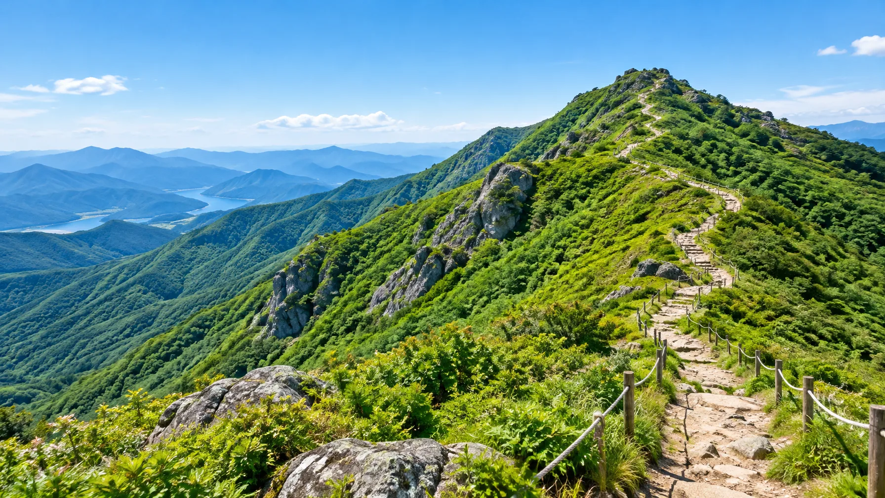
South Korea has good hiking: well-marked trails run through 22 national parks. About 70 percent of the land is mountainous, so routes suit both beginners and experts. Does South Korea have good hiking? Yes, and a first-timer can start with an easy half day near a city or save up for a big alpine push. The catch is that steep climbs, seasonal closures and a few reservation rules shape every trip. This guide takes up each of these in turn.
Yes, Korea is a hiking country: 22 national parks with well-marked trails
 AI-generated image
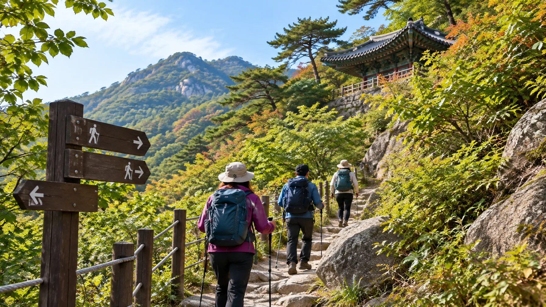
Several things make the trails easy to use. Public transport reaches the start of most trails. The routes also have enough rest stops and eateries along the way, so hikers don't have to carry every meal. Many trails pass or sit near restaurants, which gives regular chances to eat.
Hiking is also part of daily life here. Ancient temples were built along the mountain slopes, so walking uphill has been normal for generations. Some temples sit right on the trail, and a few take overnight guests. Koreans are keen hikers. They fill the national parks and Baekdudaegan ridge sections (the long mountain spine trail) on weekends and holidays. Expect company on popular routes, especially at the weekend.
Seoraksan National Park is the big-day climb, and Daecheongbong is long
 AI-generated image
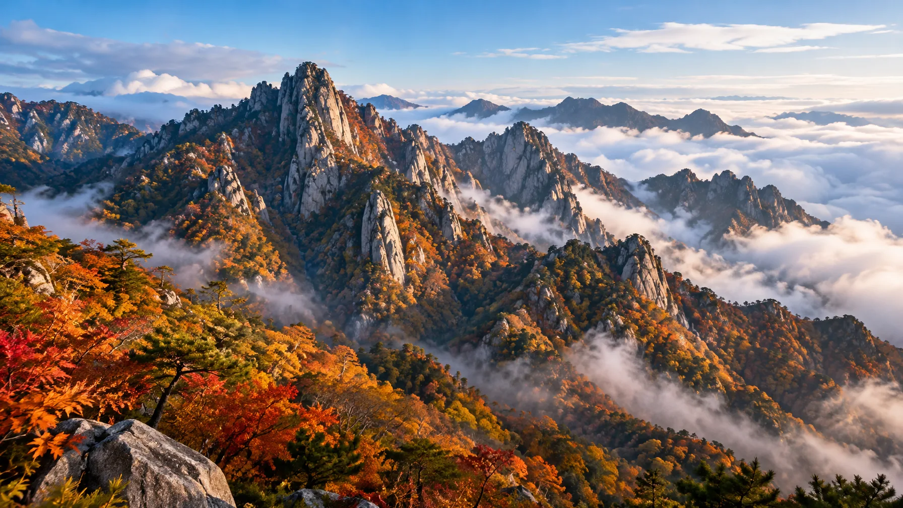
If you want one headline objective, Seoraksan National Park is a strong pick. The trail to Daecheongbong Peak is over 10 kilometers long. It gains 4,700 feet of elevation along the way, and the summit stands at 5,603 feet above sea level. That is a full day of climbing, not a casual walk.
Treat it as your best hiking in South Korea test, not your first outing. Start with something smaller if you have not done a long ascent in a while. When you reach a park, the visitor center is worth a stop. At Juwangsan, for example, a ranger can hand you a map and suggest a route such as the Gambong course.
Korean trails are steeper and more tiring than they look on a map
 AI-generated image
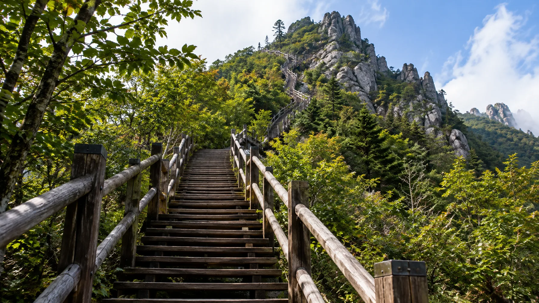
Korean peaks are steep and sharp, and they drain your legs fast. The Baekdudaegan has no flat stretches at all. Days go from summit to saddle to the next summit, up and down with nothing level in between. Even a trained mountain runner ended up walking a large share of most hikes because of the stairs and the terrain.
Some routes add rope sections on rock faces. Cheontaesan has a 75 m rock-wall rope climb, and Suraksan's steep Gichabawi rock is a rope scramble too. Gayasan's Manmulsang course is a rewarding but quite demanding rocky ridge. On Hallasan, one hiker who went up the Gwaneumsa course and down the Seongpanak course reported sore muscles but no knee trouble. So the effort is real, but it's the kind legs can handle with steady pacing.
You can hike near Seoul, and a center there lends gear to foreign visitors
Hiking in South Korea near Seoul is easy to arrange, and there's a center built for visitors. It has two branches. Both give hiking course guidance in Korean, English, Chinese and Japanese. They cover the mountains of Seoul, including Bukhansan, Bugaksan and Inwangsan, and they hand out guidebooks and maps.
For foreign visitors, the center also runs a weekly hiking tour, and each week has its own theme. The rental list covers crampons (spikes for ice), gloves, trekking poles, hiking attire and hiking boots. Koreans who come along with foreigners can rent gear too. There's also a storage locker and a lounge, handy for packing up and resting before you head out.
| Item | Bukhansan branch | Bugaksan branch |
|---|---|---|
| Address | 5F, 181-7 Ui-dong, Gangbuk-gu, Seoul | 88 Samcheong-ro, Jongno-gu, Seoul |
| Getting there | 5 minutes on foot from Exit 2 of Bukhansan Ui Station | On Samcheong-dong Culture Street |
| Hours | 09:00-18:00 | 09:00-18:00 |
| Closed | Mondays, Seollal (Lunar New Year's Day), Chuseok (Korean Thanksgiving) | Tuesdays, Seollal, Chuseok |
| Phone | +82-1533-2608 | +82-1533-2158 |
| Restrooms | Not listed | Available |
For getting to trailheads, KakaoMap works well for transit and for finding the trail entrance. Keep in mind that some signs on Bukhansan have no English. One hiker followed the crowd downhill instead of finding the way to a higher peak. Confirm your route before you start.
Closure dates, Hallasan slots and weather decide when you can hike
Trails close for fire prevention in spring and autumn. The dates are staggered by park: roughly February 15 to May 15 in spring, and November 15 to December 15 in fall. Check the exact window for your park before you book flights or lodging.
Hallasan is the second thing to plan for. It's on Jeju-do and is the highest point in South Korea. It's also a dormant volcano, ringed by 368 smaller volcanic formations. Expect the summit trail to be popular and often crowded. You need a Hallasan reservation, which means picking a climbing time on the official website and booking it online. In peak season the slots fill up fast.
High-elevation hikes also have entry time limits, so you can start only within a window that leaves enough daylight. The weather adds its own rules, which is where the case against a trip comes from.
| Season | What to expect |
|---|---|
| Spring | Heavy yellow dust can make hiking hard, and fire-prevention closures apply |
| Summer | Very hot and humid, so plan for dehydration and pick short, shaded routes |
| Rainy season | Heavy rain can flood sections, and typhoons can pin you in place for a day |
| Fall | Fire-prevention closures apply in the second half of the season |
| Winter | Extreme cold, with heavy snow and ice near the summits |
Multi-day hikes work, but you need to book beds and plan around gaps
Multi day hikes in South Korea are possible, but they are more structured than in some countries. Wild camping is prohibited. Hikers use shelters and designated campgrounds along the trails, and those should be booked in advance. Some temples on the trail take overnight guests, which can fill a gap.
Long routes exist. The Haeparang Trail stretches 750 km (466 miles) across 50 trails along Korea's eastern coast, from Busan to Goseong. The Baekdudaegan officially starts at the summit of Jirisan's Cheonwangbong. At 6,282 feet, that's the highest point on the Korean mainland. Another long-distance route, the East-West Trail, is still being finished. A 2026 opening is planned, and only some sections are open.
Expect a few interruptions. Some sections close to protect the ecosystem, and hikers can get around them by hitchhiking. Some parks are awkward by public transport, with no direct bus and a bus-plus-taxi combination instead. That can make a multi-day plan, such as one in Jirisan, hard to fit in.
A first-timer checklist to run through before you book
- Pick your season first. Spring means yellow dust, summer means heat, and winter means ice at the summits.
- Check your park against the spring and fall fire-prevention closure windows.
- If Hallasan is on the list, book your climbing time online before you fix the rest of the trip.
- Work out how you'll reach the trailhead. Some parks need a bus plus a taxi.
- Plan to be off the mountain before dark, and check the entry time limit at high-elevation trails.
- For overnights, book shelters or designated campgrounds ahead. Wild camping isn't allowed.
Common mistakes: shorts, no food, and chasing views in the fog
Dress like the locals. One hiker in shorts, a T-shirt and a baseball cap felt out of place among Korean hikers. Pack extra food too. Locals resting at summits and at the bottom of staircases often share snacks and lunch. That hiker learned to carry more food to pass it back.
Do not count on a view. Forest walking can feel long, and clouds and fog can hide everything around the trail. On Jirisan's Cheonwangbong summit, fog can leave nothing visible at all. Some summits have no marker, or the top is closed, so a summit photo is not guaranteed. Some routes can feel repetitive, like the Taehwasan course that one hiker found view-less.
Don't hike after dark. Parks have no lighting, and the slopes can be dangerous when it gets dark. One night hike in a small park ended when a group of wild boar made the hikers turn around. Don't plan a drive-up nature trip either. Korea is small and heavily developed, and the wild places are in the high mountains cars can't reach.
Two more guides to read before you pick a trail
If you're staying in Seoul, start gentle. Read Easy Hikes in Seoul: Is Achasan–Yongmasan Beginner-Friendly? before you decide how hard to push.
Verdict: go hiking, and plan around the calendar
Yes. With 22 national parks, well-marked trails and mountains covering about 70 percent of the country, Korea works for beginners and experts alike. Plan around seasonal trail closures, Hallasan summit reservations and the weather, and expect steep climbs. Packing a little extra food and starting early both help.
Comments
No comments yet.